
The Complete Package
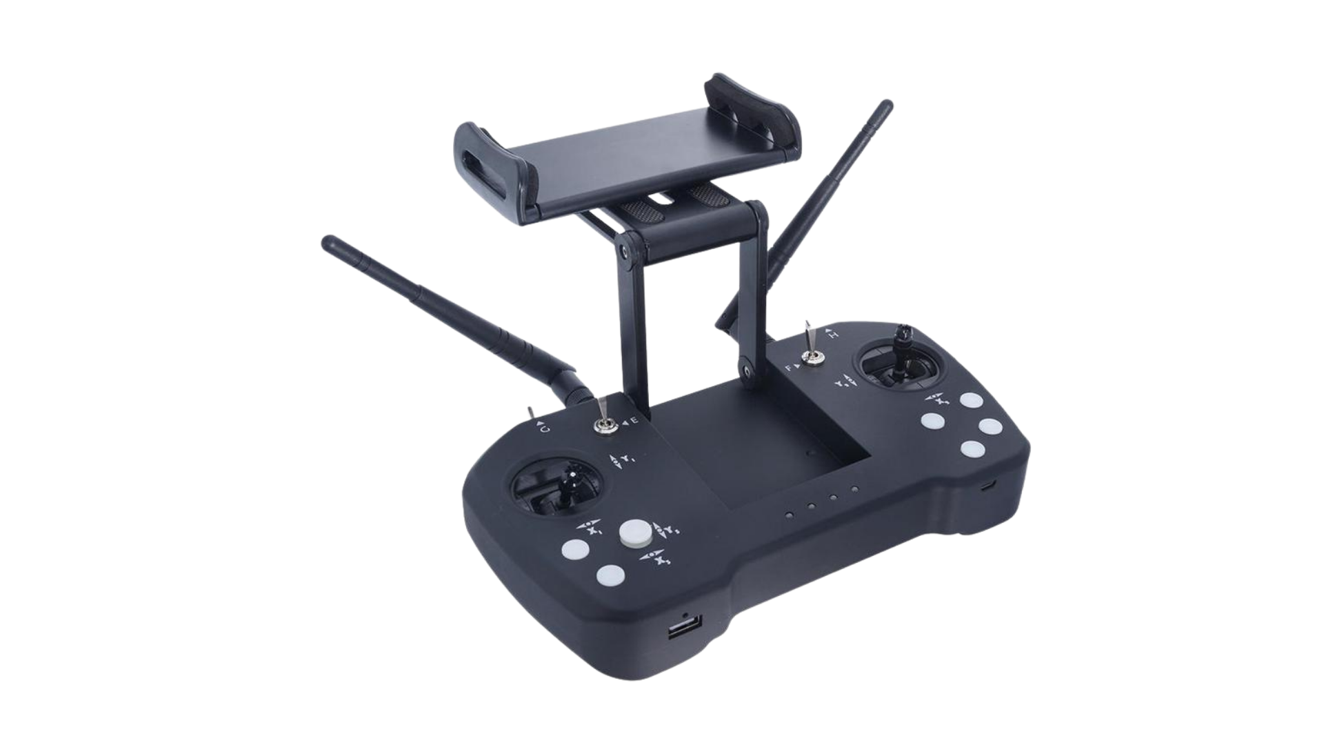
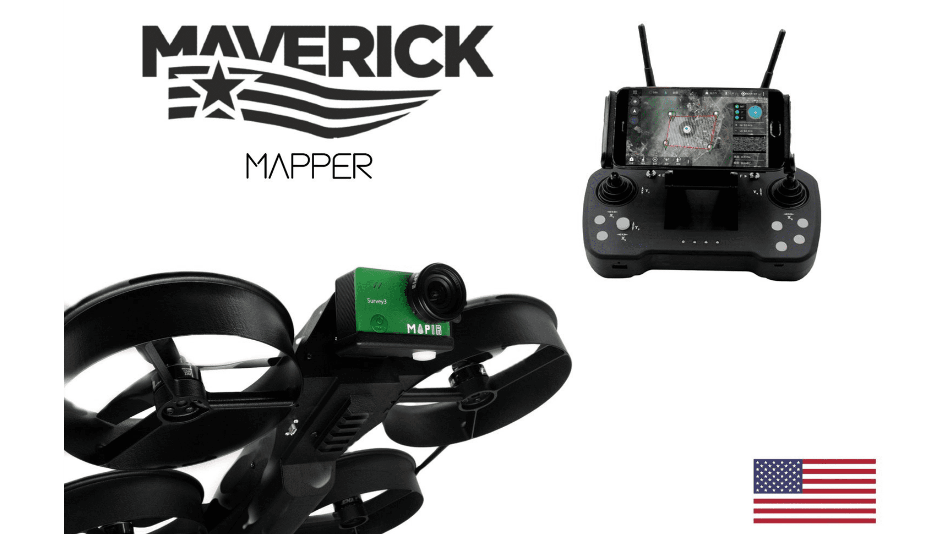
The Maverick functions as the ideal survey drone set up – maximizing scouting efficiency and accuracy. Autonomously map up to 40 acres in one 25 minute flight. The Mapper comes with a Skydroid controller that accepts any Android or iOS phone or tablet along with your favorite open-source ground station software.
The Complete Package
The Maverick functions as the ideal survey drone set up – maximizing scouting efficiency and accuracy. Autonomously map up to 40 acres in one 25 minute flight. The Mapper comes with a Skydroid controller that accepts any Android or iOS phone or tablet along with your favorite open-source ground station software.

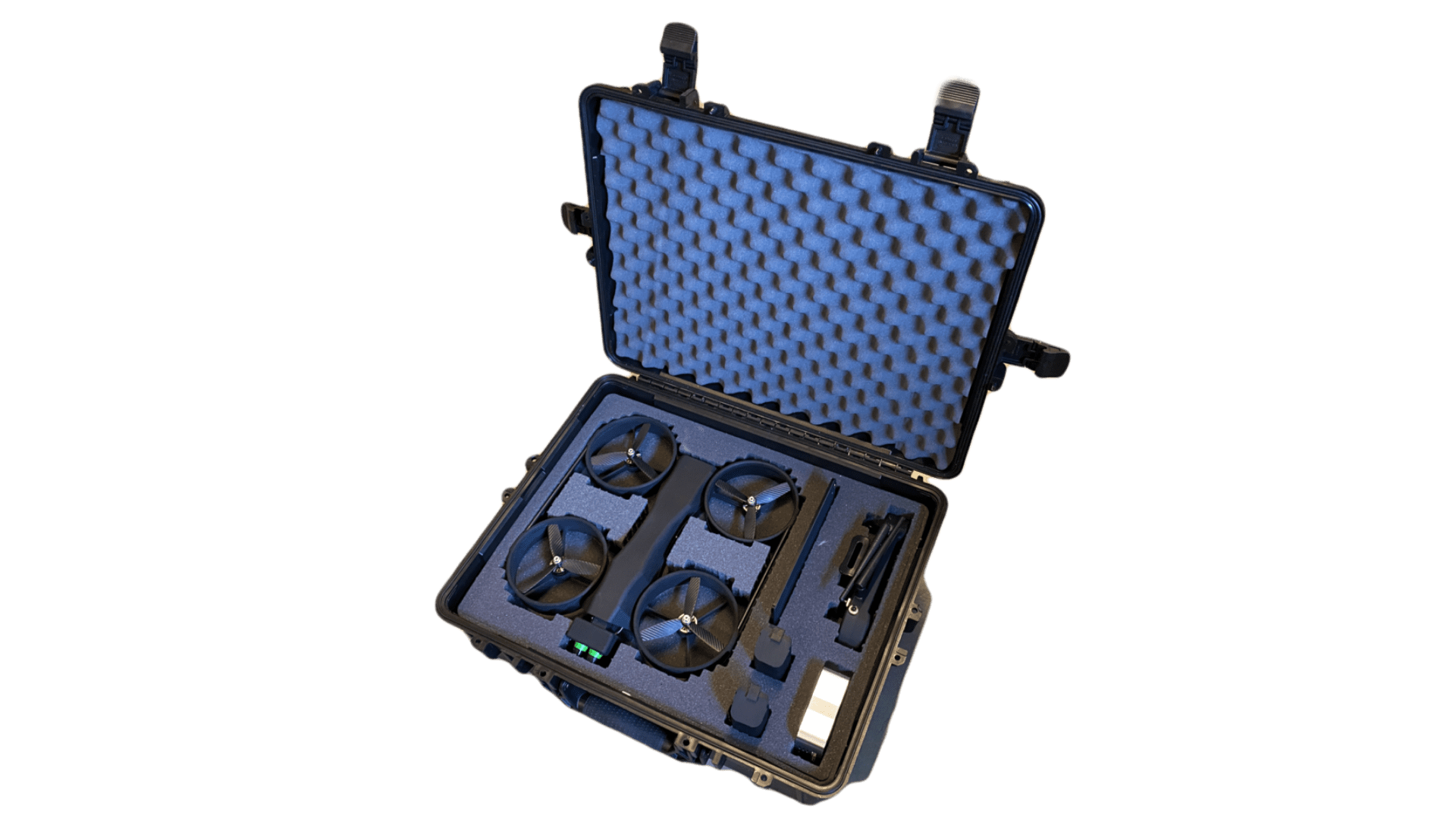


The Maverick Mapper Package Includes:
- Skydroid Controller
- 2-Axis Gimbal
- Battery
- Battery Charger
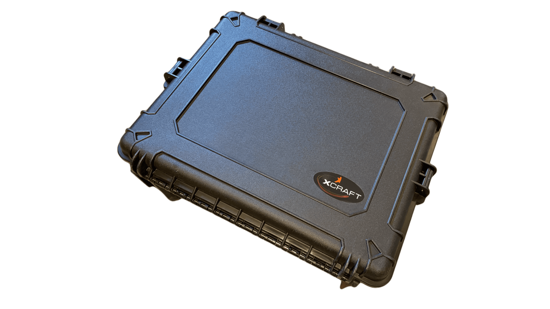
- Hard Case
- Skydroid Controller
- 2-Axis Gimbal
- Battery
- Battery Charger
- Hard Case
Technical Specifications
- Map up to 40 acres in one flight
- 25 minutes endurance
- 4S 86.4Wh Battery
- 45 MPH – Top Speed
- 30% quieter
- Better efficiency up to 40% more flight time
- Open source autonomy – Pixhawk Autopilot
- Ducted Design
- Safe by design – internal protection from rotating props.
- Bump and Go
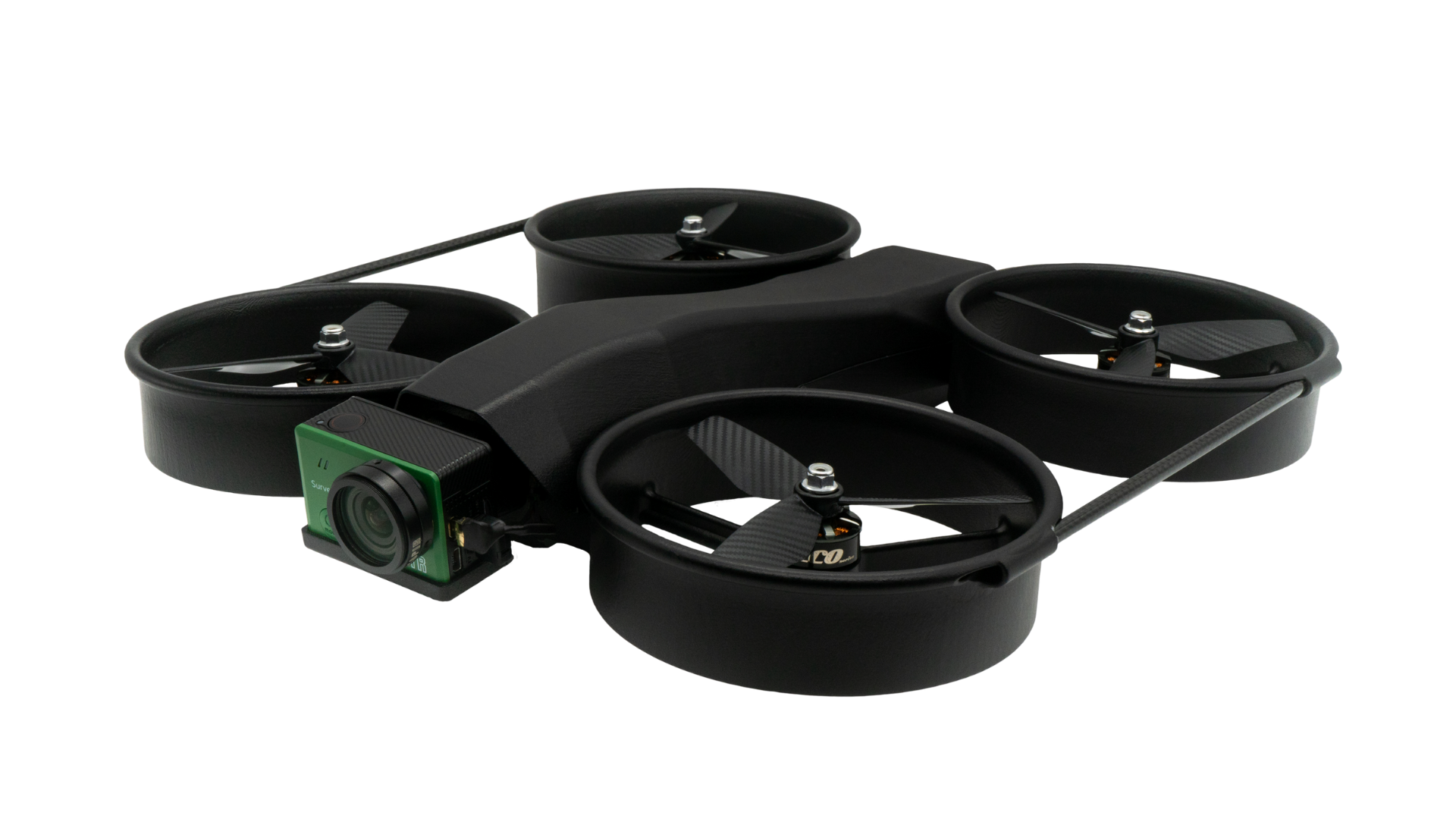
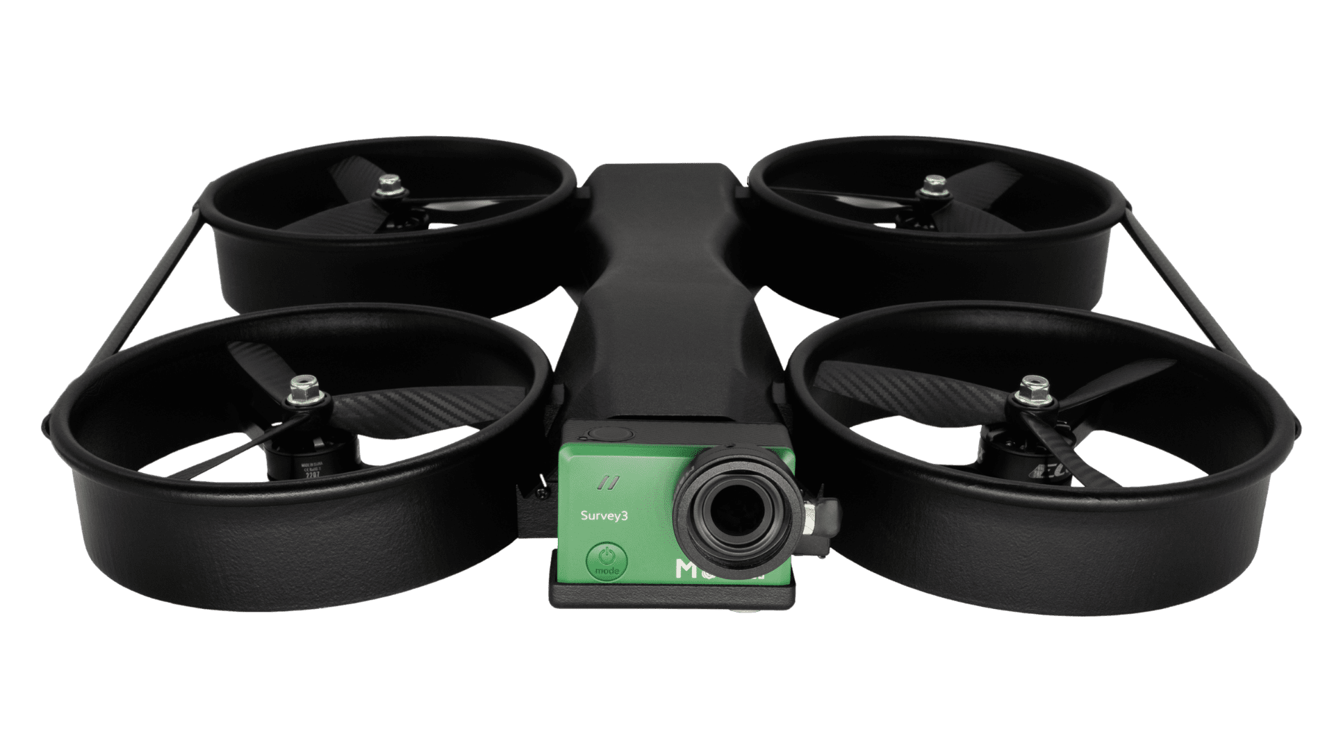
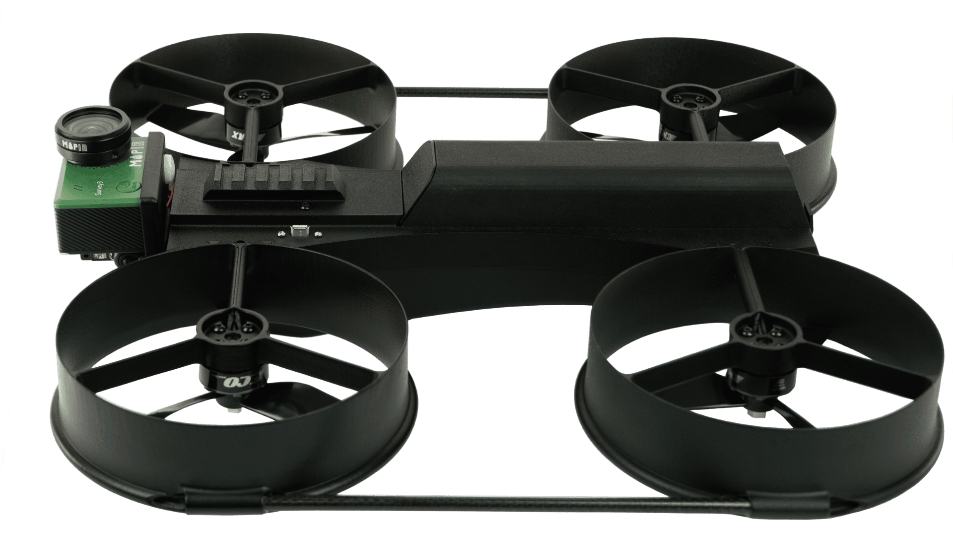
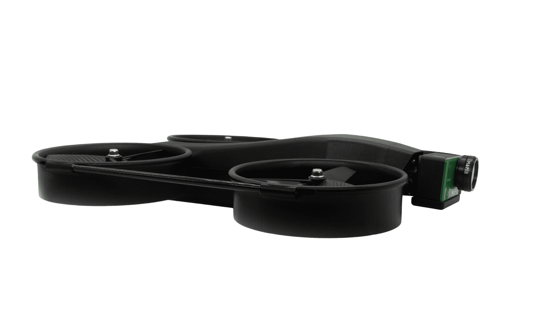
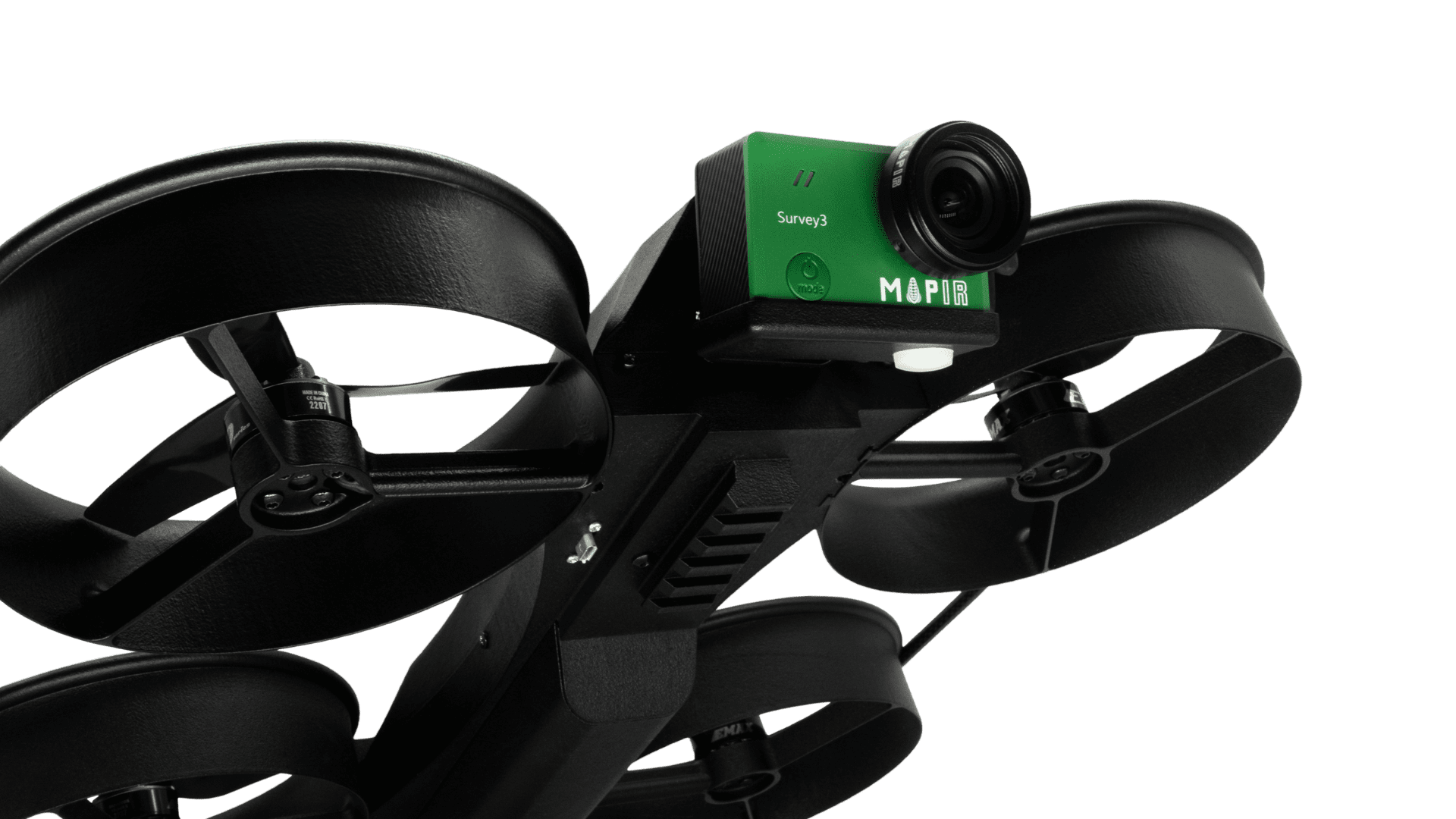
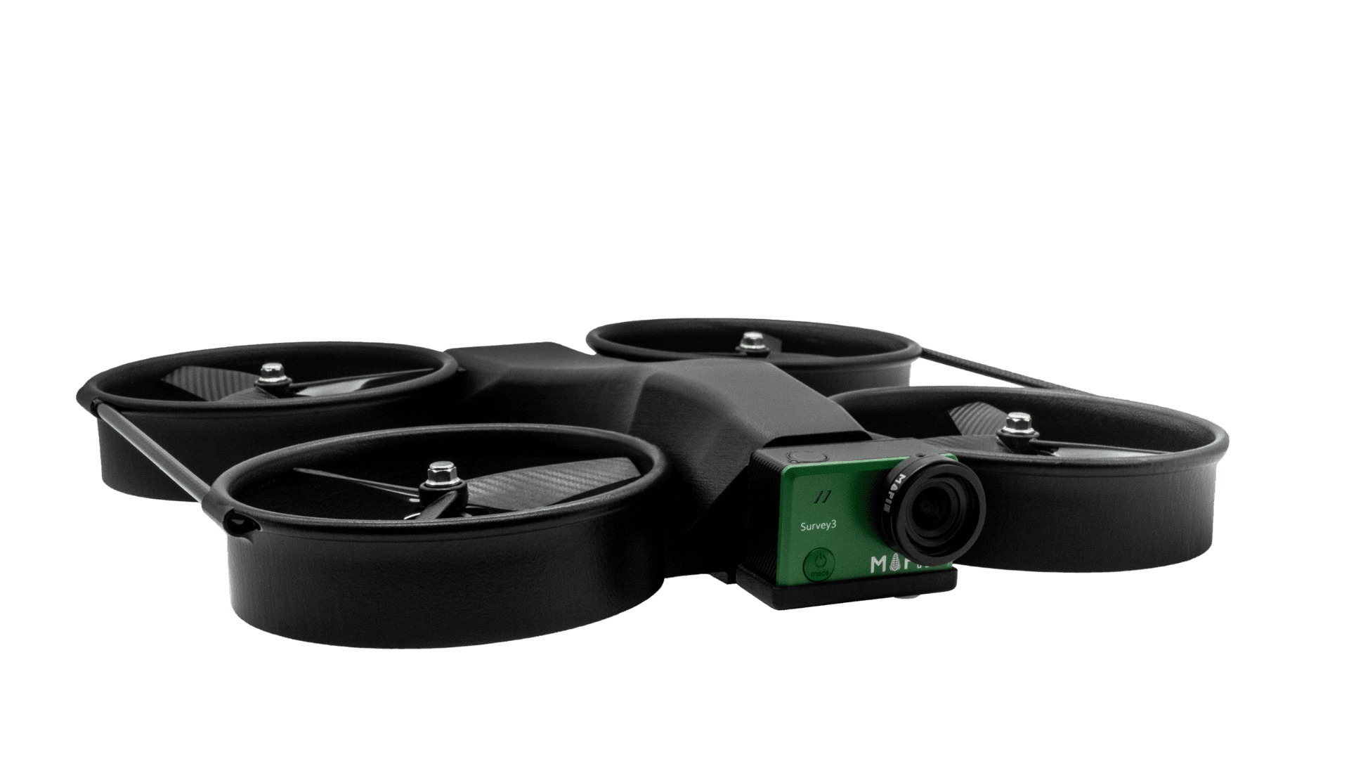
- Camera Options: MAPIR Survey 3 Camera, Sony RXO II, ADTi 26mp Surveyor Lite 2
- xPand Rail – accessory mount
- Mount Options – MAPIR cameras, Spotlight, Loud Speaker, and more option with “Picatinny” rail.
- Assembled in Idaho, USA
Get in Touch
xCraft can help your surveying team revolutionize how they gather site data. Give us a call or shoot us an email, and our incredible customer support team will get right back to you and walk you through the entire process.