
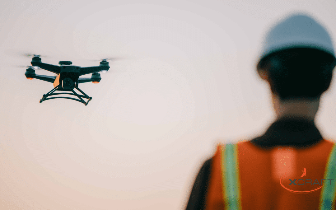
While many consumers view drones as recreational technology, many industries are embracing them as the new normal.
In Mining, for example, drones are being used to survey the site and ensure that there are no structural compromises that would endanger the crew on the ground.
In Agriculture, drones are used to identify spots of over or under watering to optimize resources and yield the largest harvests.
xCraft’s drones are being used in a host of practical applications across a wide range of industries, one of which is mapping and surveying.
Land surveying is one of the many industries that are being disrupted by drone technology in exciting, revolutionary ways. Fitted with a high-definition surveying camera, a surveying UAV like the xCraft Maverick Mapper can quickly scan, map, and analyze large plots of land in a fraction of the time that would be necessary using traditional methods. There are several advantages to mapping with drones.
Much Faster Than Land-Based Surveying
Traditionally, land surveying uses field teams equipped with traditional technology like electronic distance measurement tools, GPS systems, and digital theodolites. This can be costly and time-consuming. While ground-based surveying requires a lot of walking around, setting up equipment, and taking measurements, it only takes 25 minutes for a top-of-the-line survey UAV like the Maverick Mapper to autonomously map a 40-acre area. You can map the same plot up to five times faster with a drone.
Drones Will Save You Money
Time is money and you’ll save both. Using traditional methods, it could take up to 100 hours for a field team to survey a 12-acre plot of land by some estimates. Drone technology allows this to happen in minutes. What’s more, many drones, like the Maverick Mapper can be programmed to work autonomously, so it further cuts down on the number of surveyors needed.
Assembled in Idaho, The Maverick’s design boasts the following features:
- Map up to 40 acres in one flight
- 25 minutes endurance
- 4S 86.4Wh Battery
- 45 MPH – Top Speed
- 30% quieter
- Better efficiency up to 40% more flight time
- Open source autonomy – Pixhawk Autopilot
- Ducted Design
- Safe by design – internal protection from rotating props.
- Bump and Go
- xPand Rail – accessory mount
- Mount Options – MAPIR cameras, Spotlight, Loud Speaker, and more options with “Picatinny” rail.
Each of these allow for a much leaner and more cost-effective solution for your survey company across the board. You will save tons of money on salaries as well as healthcare, workers’ comp insurance, and other benefits.
Safely Survey and Map Hard-to-Reach Places
Survey jobs often entail working in areas that are difficult or dangerous for crews on foot to access. Harsh and unforgiving terrain can pose a challenge to even the most skilled survey teams. Steep slopes are not only tricky to measure but also potentially hazardous for your employees. One false step, and one of your team members could be out of commission for weeks, potentially derailing your whole operation.
For UAVs, this is never an issue. Surveying from up in the sky, drones can take on tough and hazardous jobs that even the most experienced field team would think twice about taking.
With the ability to deliver fast, cost-effective, and versatile mapping services, survey drones are the future of the industry. UAVs have enormous potential to save your business time and money. For more information about survey drones like the Maverick Mapper, contact the drone experts at xCraft UAV.