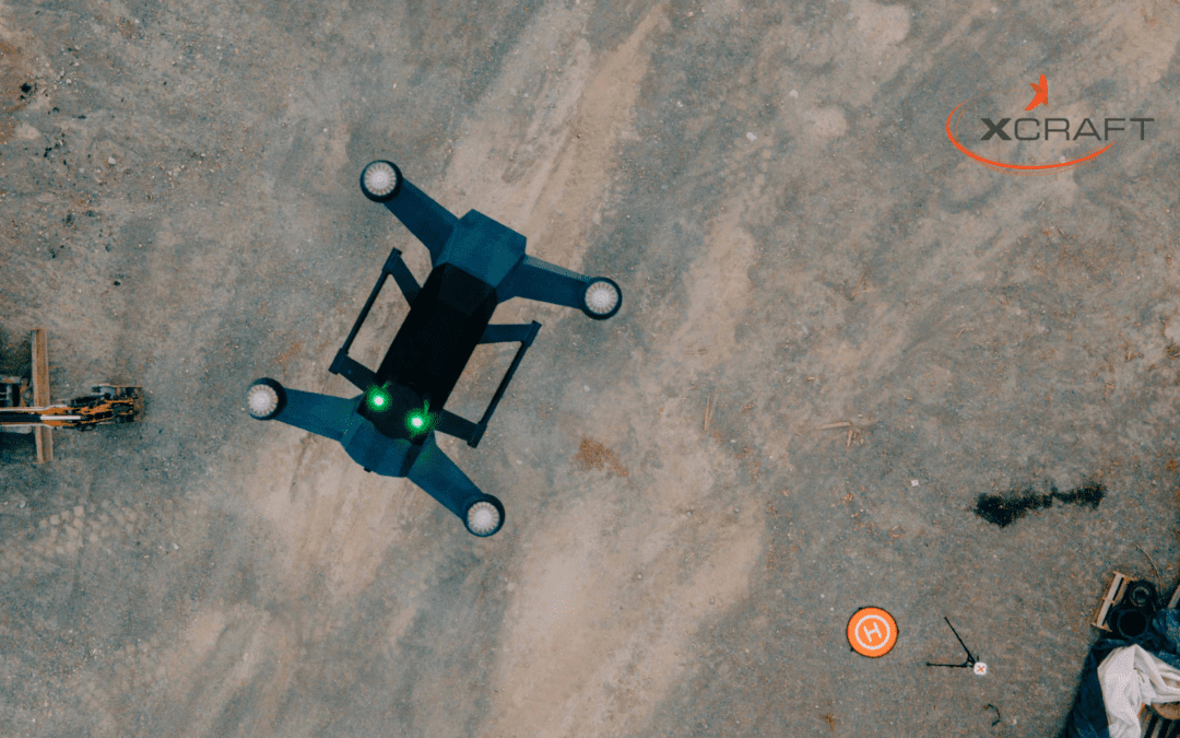
LiDAR, or Light Detection and Ranging, is an advanced sensing method that provides detailed three-dimensional information about specific surfaces or underground areas. Originating in the early 1960s, this technology has developed as a powerful tool that is regularly used today in a number of different fields.
By generating and measuring millions of data points in real time, Lidar mapping enables unmanned aerial vehicles to “see” the surroundings. The sensors on the drone are capable of reading a range of up to 240 miles and can capture up to 90 degree fields of view.
The above LiDar sensors used in xCraft drones output up to 5.2 million points per second with full dual return processing capabilities. Their sensitive detectors count up to one trillion photons per second, and are equipped with advanced micro-optics that reduce noise and increase range.
Let’s take a look at some of the advantages of using xCraft drones for LiDAR underground mapping purposes.
Cost-Efficient
Before the use of drones, LiDAR mapping of large underground areas meant loading an airplane or helicopter with specialized equipment and sending it up in the air. This was tremendously expensive when you factor in the cost of aircraft rental, gasoline, and crews.
Today, high-tech drones have made it possible for small business owners and independent consultants to perform detailed analyses of underground areas. There’s no longer a need to rent an aircraft, hire a pilot, drive to the airport, and manage the LiDAR equipment by hand. Unmanned drones deliver the same high-quality results at a fraction of the cost.
Increased Safety
Traditional underground mapping techniques present both above-ground and below-ground dangers. Aerial studies often employ small planes in rural areas, and it’s sometimes necessary to fly at low altitudes to get accurate information. This always presents some level of risk, even with the most experienced pilots.
Below ground, manned expeditions to perform geological studies also carry a certain amount of risk. The use of unmanned drones armed with LiDAR technology provides highly detailed underground data while eliminating the potential dangers associated with traditional mapping methods. XCraft’s Matrix SE can be purchased with an optional Lidar technology payload.
More Accurate Data
Compared with other technologies, LiDAR is more capable of generating large data sets in a short period of time. Not only that, it contains greater vertical and horizontal accuracy in addition to superior data density. Importantly, it can operate in any type of weather and penetrates through all types of soil, rock, and forestation to provide highly detailed models of underground areas.
A high-quality drone with the right technology can be automated to perform all of these tasks, and it performs them at an exceptionally high level without the need for a costly team of field experts.
Use in Multiple Industries
LiDAR underground mapping is a tremendously valuable tool for many different industries. For example, it is highly valued in the mining industry for delivering low-cost, high-resolution studies of potential mining areas while dramatically reducing the human danger that used to be associated with collecting this data. It is also commonly used in fields such as urban planning and construction, archeology, and agriculture.
Because of their low cost and ease of operation, drones have lowered the barrier of entry and allowed individuals and businesses of all sizes to perform these underground studies.
For many industries, LiDAR technology has been a true game-changer when it comes to mapping large underground areas. Thanks to the introduction of drones, it is now more affordable and accessible than ever. Visit xCraft to find a high-quality selection of drones, and learn more about what they can do for you and your business.


