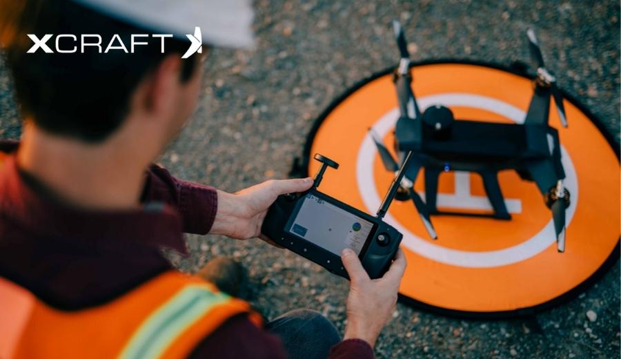
The use of drones has revolutionized a number of industries, from geology and archaeology to mining and entertainment. Perhaps most of all, the field of land surveying has been massively influenced by this new technology, and the accuracy of UAV’s for this use case are improving every day.
Understanding Drone Accuracy
In the field of land surveying, the term accuracy can mean a few different things. Traditional photogrammetric technology, for example, is sometimes said to produce higher resolution, but this higher resolution doesn’t necessarily correlate to useful 3D point data. In comparison, LiDAR technology may not have the same resolution but produces much more useful topological data.
When it comes to accuracy, the key to a good survey is the degree to which the 3D data can simulate the real world. A good quality land survey drone helps provide accurate measurements of the site and its surroundings in both absolute and relative terms. What is absolute and relative accuracy? We’re glad you asked.
Absolute Accuracy
Absolute accuracy, also known as global accuracy, refers to how accurate the latitude, longitude, and elevation are of a given pixel, object, or position in a model compared to their real-world position as measured by a standard survey instrument.
The best way to measure absolute accuracy of any aerial mapping data is by using checkpoints with known coordinates that are measured independently by an authoritative source like a mapping drone.
Relative Accuracy
Relative accuracy, sometimes referred to as local accuracy, references the accuracy of the location of a pixel, object, or position to another pixel, object, or position within the same model. However, this measurement does not consider the global location of what’s being measured. For example, relative accuracy doesn’t care if the land you’re measuring is in New York or Australia.
It’s important to keep in mind that projects measured using local coordinates may have high relative accuracy, but will have low absolute accuracy if they are not georeferenced.
Factors That Influence Drone Survey Accuracy
In addition to the quality of the drone and its hardware components, there are a number of other factors that can influence the accuracy of the survey data you collect. These include the accuracy of the ground control points (GCPs), since the absolute accuracy of your survey cannot be higher than that of the GCPs. To address this, make sure that these points are measured with greater accuracy than the pixel size of your drone.
Other influential factors include lighting, the profile of the terrain you’re surveying, and the weather conditions. The best drones for land surveying are generally still reliable in challenging weather conditions, so be sure you factor in local climate demands when deciding which drone is best for your needs.
Multiple factors go into determining the accuracy of land surveys that are performed using drones. Armed with the right equipment and knowledge, it’s now easier than ever to produce highly accurate land surveys with the help of a quality drone. Visit xCraft today to find the right drone for your land surveying needs.


