
Mining is dangerous, difficult work even in the best of situations. To be not only doable but profitable, it depends greatly on information, and in particular on understanding mining terrain and composition as it develops and changes, whether in open-pit or underground mining sites.
That being the case, the use of unmanned aerial systems (UAS), or drones, for surveying and mapping of mines is becoming the standard. UAS surveying is quicker, safer, less expensive, and more accurate than other surveying methods, and with appropriate software interfaces, it can also provide more information more quickly than traditional methods.
Drones Provide Multiple Advantages Over Traditional Mining Survey Methods
UAS used for surveying are equipped with GPS, theodolites, and state-of-the-art LiDAR technology to allow highly detailed scanning of broad areas to create extremely accurate 2D and 3D models not only of mining sites being worked, but also for surveying proposed mining sites. And while LiDAR has been around for years, using it in conjunction with drones is game-changing.
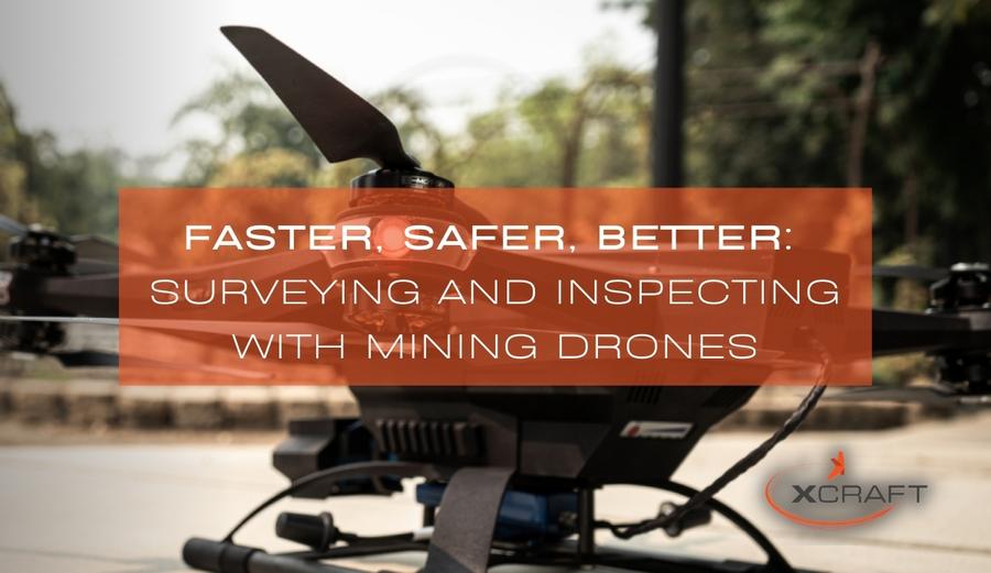
With UAS, no longer are you dependent upon a large team of trained surveyors, who need time and manpower to provide accurate mapping and measurements. Moreover, because drones can work at altitude, for open-pit mining, drones like xCraft’s Matrix SE can read a range of up to 240 miles with a 90 degree field of view, and it can do it on demand, without having to hire a helicopter aerial surveying contractor.
Drones can safely be used in both open pit and underground sites where it is difficult or dangerous to get a human surveyor using traditional methods. Drones can cover a vast amount of land in a relatively short amount of time, because they are not hindered by topographical features that would otherwise make surveying difficult or time-consuming. Because of their compact size, they can get into areas that helicopters and humans either can’t access, or won’t access to do the risk of danger they pose.
Beyond Mapping
A qualified UAV pilot and a UAV equipped with the right apparatus can be used not only for mining surveys, but for boundary surveying as well as environmental planning, which is critical for mine operations today.
But the potential for UAV use in mining goes beyond surveying. Drones have the capability to be equipped with other equipment such as gas and heat sensors to detect dangers, or XRF analyzers to assess the viability of new mining sites, even in hard-to reach places in underground mines. The use of drones for these applications will not only save numerous man-hours in analyzing the safety and usability of mining sites, but protect personnel from exposure to noxious gasses or even trace amounts of XRF radiation.
Drones can be used repeatedly and on demand, and you can use survey drones not just for mapping. LiDAR can be utilized to help you manage changes in stockpile volumes, quarry topography and accessibility, and tailing dams. Drones can also be used to maintain site security. Because UAS can reach hard-to-reach places quickly, there is also the potential for drones to be used in responding to the emergencies that occasionally occur in mining operations.
Increase the Efficiency of Your Personnel
In short, mining drones can make mining more accurate, efficient, and profitable. Without exposing personnel to danger, drones can cover vast amounts of land quickly to provide accurate surveys of mining sites, whether open-pit or underground. Additionally, drone surveying is easily repeatable–no need to send your men out into the field to re-survey areas that have changed due to ongoing mining operations or from other incidents, such as a cave-in or extreme weather events.
While they can be expensive, drones and their attached apparatus, unlike people, are easily replaced and replicated, especially at a time when qualified mining personnel may be hard to find, and training new personnel is time-consuming and costly.
Drone technology is improving constantly, with efforts toward making drones lighter and more maneuverable, to improve flight-time, and to carry larger payloads. This will greatly expand the potential for drone use in mining beyond what UAS can do today, especially as other technologies develop to provide apparatus that can be controlled remotely.
Take advantage of high-quality, robust survey drones for your mining operations. Contact xCraft today and find out how our surveying drones can streamline your mine operations